HYDROGRAPHIC SURVEYING SPECIALISTS
Aquatics Environmental Services Inc. is your solution for data acquisition in remote and challenging environments.
Aquatics Environmental Services Inc. is a remote sensing services company providing unique, innovative and customized approaches to all of our programs.
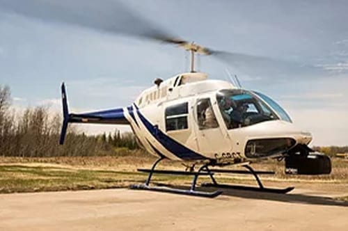
Below the water we offer a variety of hydrographic surveying technologies including single beam, sweep, interferometric and multi beam sonar services. We also conduct side scan surveying and sub-bottom profiling. Above the water we offer lidar and air photo acquisition, as well as a variety of remote data acquisition services.
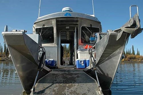
At Aquatics ESI, we specialize in utilizing the latest technologies in both hardware and software. We enjoy working in the most challenging environments. We have focussed on surveying in extremely shallow water environments with the development of specialized boats and surveying techniques.
SERVICES
If you require people that can provide innovative and cost effective solutions, utilizing the latest in remote sensing technologies, Aquatics will deliver.
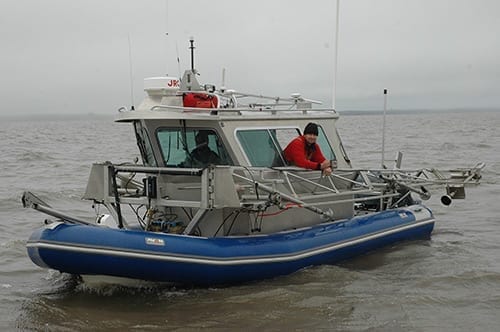
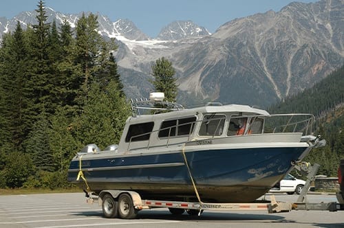
VESSEL CHARTER
Are you looking for turnkey vessels equipped with the latest technology? Aquatics Environmental Services provides several charter options.
EXPLORE OUR SERVICES
Aquatics Environmental Services Inc. is one of the few hydrographic/geospatial contractors that integrates the latest technologies with platforms custom designed to deliver detailed data. We use technology that is leading the way and ideally suited for the job required.

The process of measuring and documenting features which affect maritime navigation, marine construction, dredging, offshore oil exploration/offshore oil drilling and related activities.

For imagery under the water, Side Scan Sonar Imaging is the best tool for the job. At Aquatics we use several different types of side scan sonar systems, learn more about this service here.

Lidar Surveying is a method of measuring distance where traditional land survey techniques are not possible. Our Lidar Surveying services are generally used for shorelines, rock cliffs, and other areas.

We offer Sub Bottom Profiling to identify and measure various marine composition layers that exist below the sediment/water interface, useful in dredging, marine research, and more.

Aquatics ESI installs, services and monitors dredge automation systems used for precision dredging purposes. Through automation the entire dredging process becomes extremely efficient.

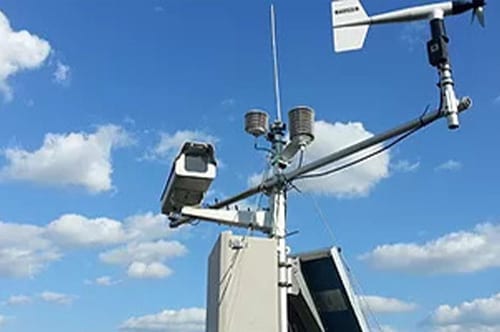
We provide clients with the ability to remotely monitor and retrieve data without having to leave the office in the form of weather stations, water level monitoring stations, and more.

Aquatics ESI provides Vibe Core Sampling, a technique used in underground or underwater exploration and prospecting. Core Sampling is useful in the gas/oil field, construction, and research industries.

