Hydrographic Surveying
We conduct many types of hydrographic surveying including:
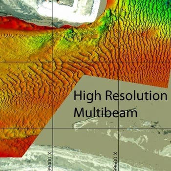
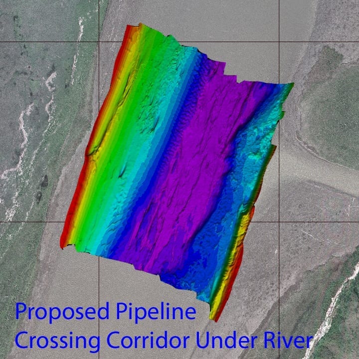
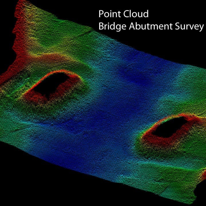
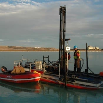
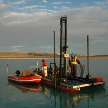
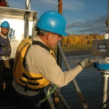
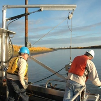
Aquatics owns and operates all its own equipment including the vessels to run these systems.Precision hydrographic surveying involves the coordination and integration of numerous components to produce accurate and precise results. Sonar technology must be integrated with precise positioning systems (GPS, RTK, Post Processed systems), inertial and non-inertial motion reference systems, sound velocity, computer and hydrographic software systems. We use all our own vessels where we have installed and precisely measured, tested and retested all mounts and lever arms and have been constructed for the purpose of hydrographic surveying. Our staff is well experienced with operation of all the systems in order to deliver the best quality product possible.


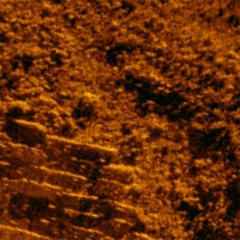
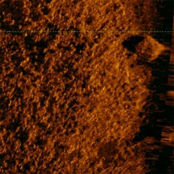
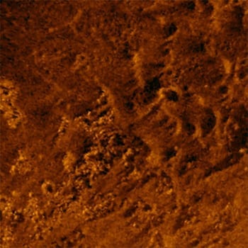
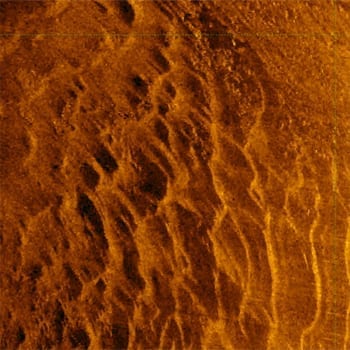
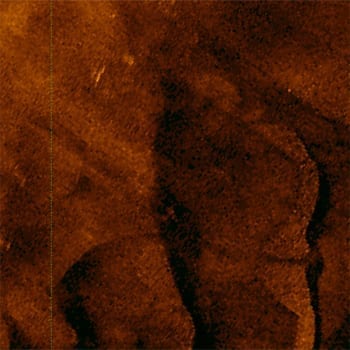
Side Scan Sonar
For imagery under the water, side scan sonar is the best tool for the job. At Aquatics we use several different types of side scan sonar systems based on the imagery that is required. For extremely high resolution, short range imagery we will operate very high frequency systems. When wide area imagery is required with suitable resolution, we use lower frequency side scan systems.
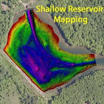
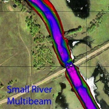
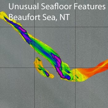
Interferometric side scan sonar systems combine both side scan imagery at a low frequency with multi beam surveying. The combined systems are used in shallow water, wide area full bottom mapping applications.
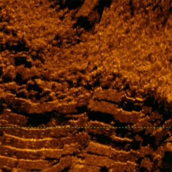
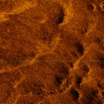
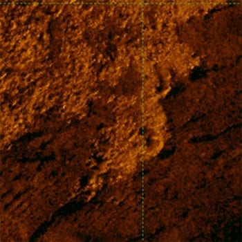
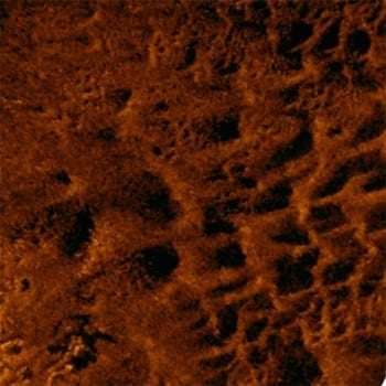
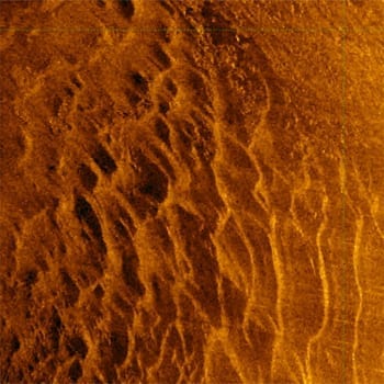
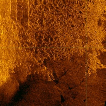
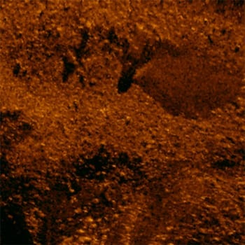

Side Scan Sonar
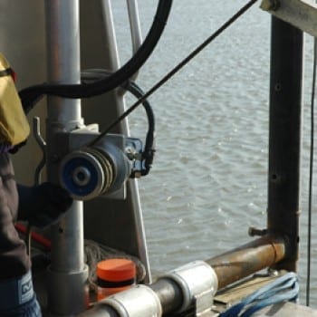
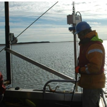
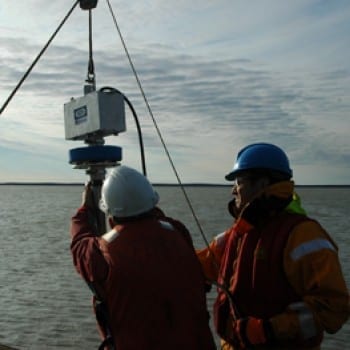
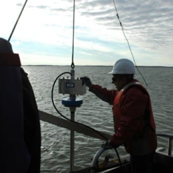
Aquatics performs vessel based lidar acquisition of shorelines using the most advanced lidar unit available. Shorelines, rock cliffs, etc. where traditional land survey techniques are not possible, we use a lidar system integrated with the best inertial navigation systems and software on the market today.

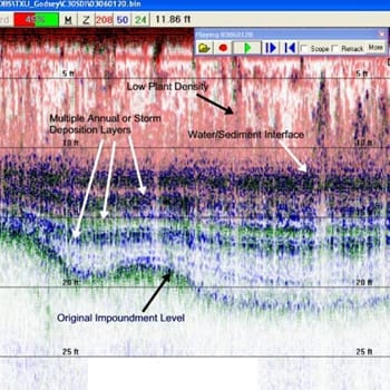
Sub Bottom Profiling
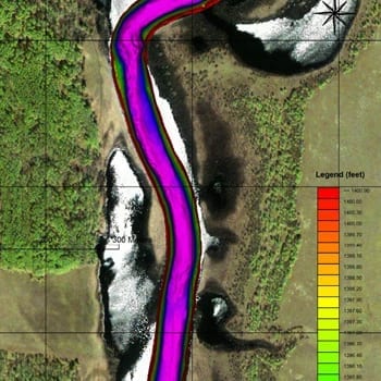
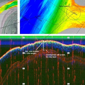
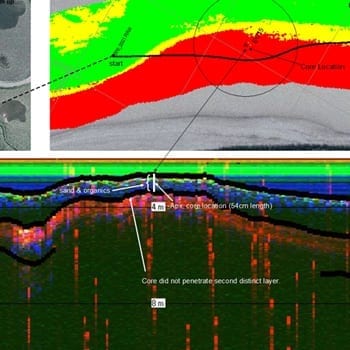
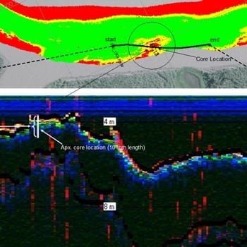
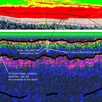
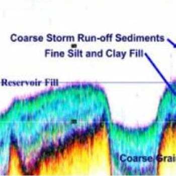
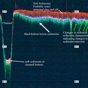
Specialized sonar systems are designed for looking beneath the floor of the watercourse / waterbody giving the user an idea of its composition. These sub-bottom profilers are used to provide the stratigraphy of the bottom. Aquatics uses these systems especially in cases where there is a desire to understand the bottom composition prior to dredging. Dredgers do not want to encounter any surprises or barriers to dredging.
Aquatics often ‘ground truths’ the sub-bottom records with vibe-coring, providing the clients with an understanding of what material types compose the layers evident in the sub-bottom records.
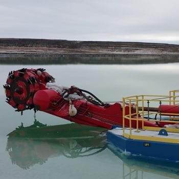
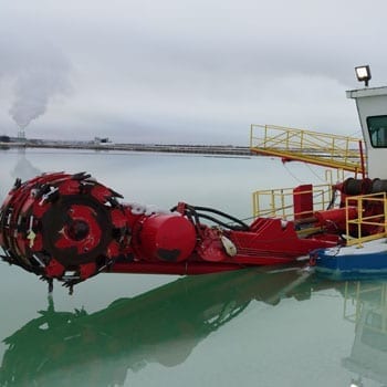
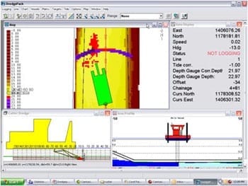
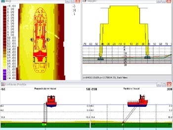
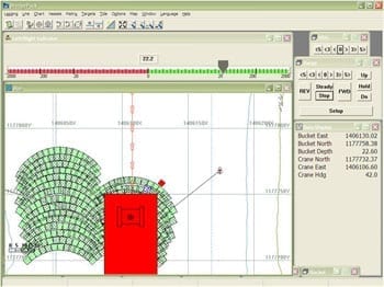
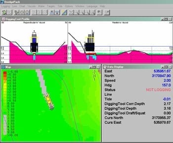
Dredge Automation
Aquatics installs, services and monitors dredge automation systems used for precision dredging purposes. Operators of the dredges are guided by on screen computer displays which show the exact positioning of their dredging equipment allowing for the precise dredging of material. Through dredge automation, the entire dredging process becomes extremely efficient; reducing or eliminating under-dredging, necessitating a return visit to the location, or over-dredging, extracting more material than necessary.
Aquatics designs and integrates all the hardware and software necessary for this process. We have decades of experience in selecting the appropriate equipment that works with these dredges and will customize the solution for the individual dredge.
As a full service provider, Aquatics will:

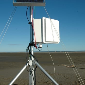
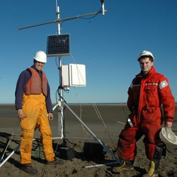
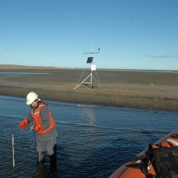
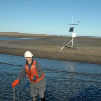
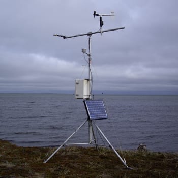
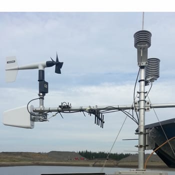
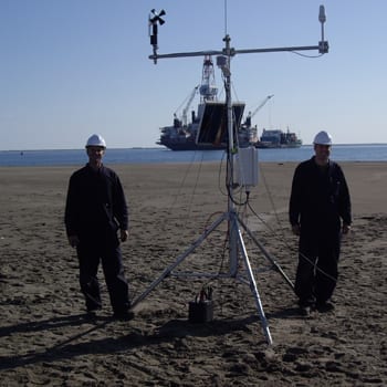
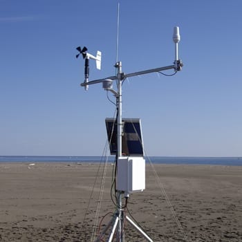
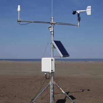
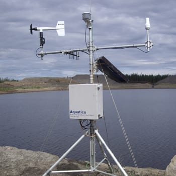
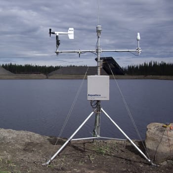
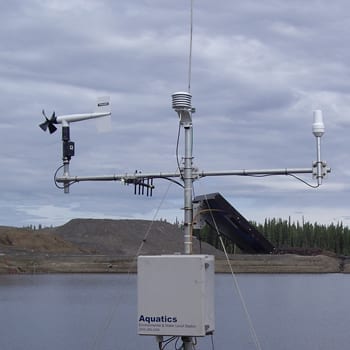
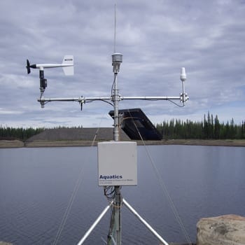
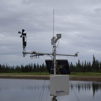
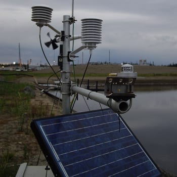
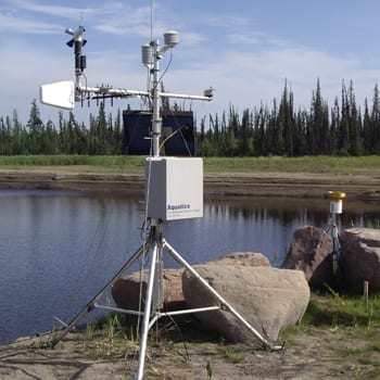
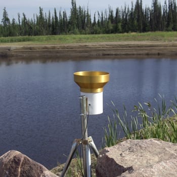
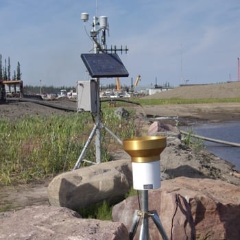
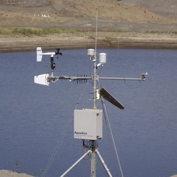
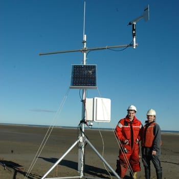
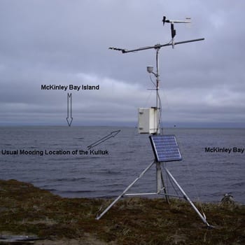
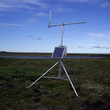
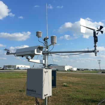
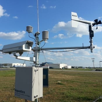
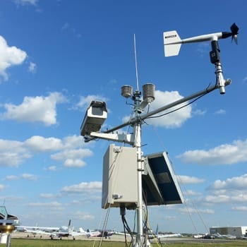
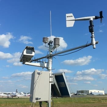
Remote Data Acquisition
Weather stations, water level monitoring stations, water quality, water current, etc. can all operate remotely, and the data retrieved without having to leave the office. We have set up all these sorts of stations in various environments from Canada’s arctic, throughout Asia, Central America, and in India.
For our clients we have set up web pages such that they can view their data in real time. The web pages also allow them to download the data whenever they wish. The web sites can be secure, or open access for multiple viewers.


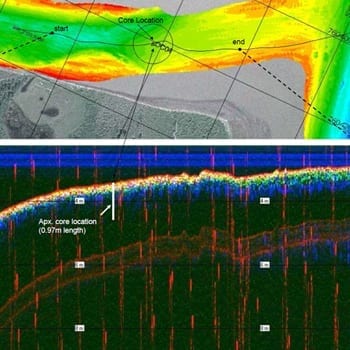
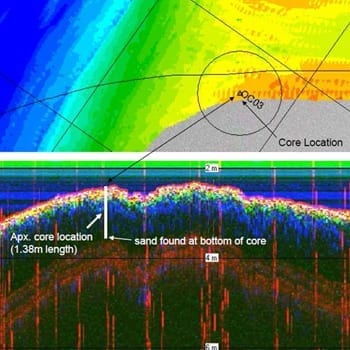
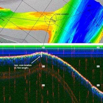
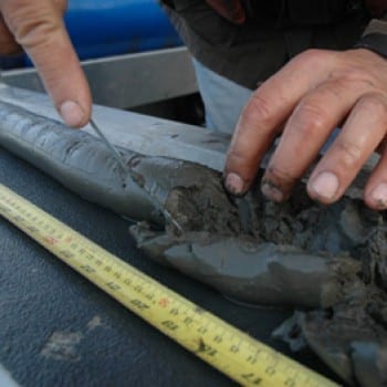
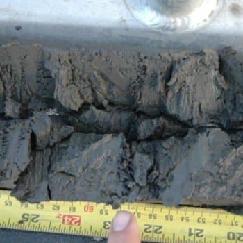
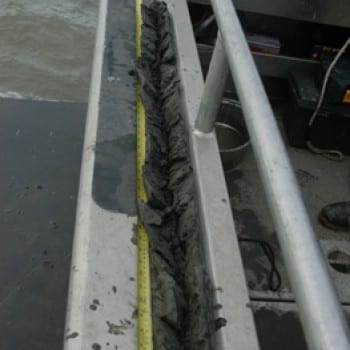
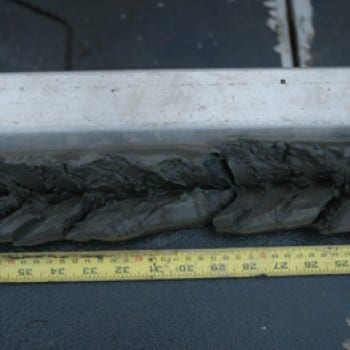
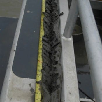
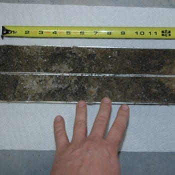
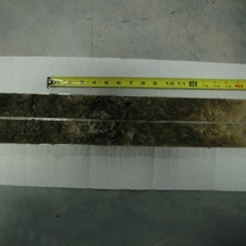
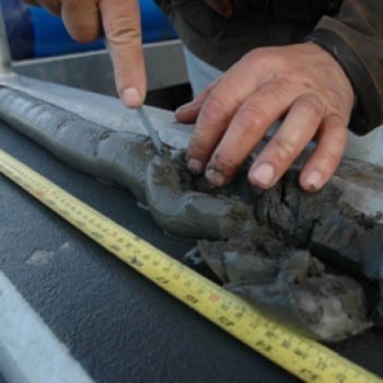
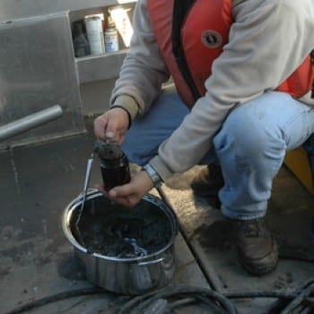
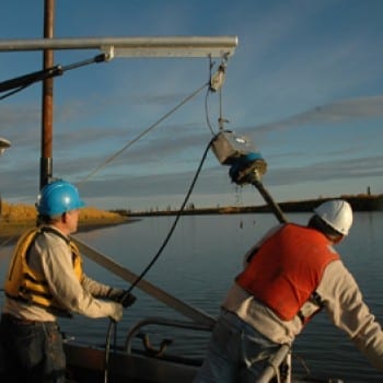
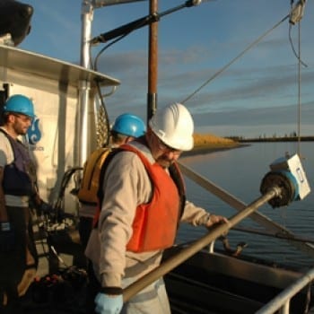
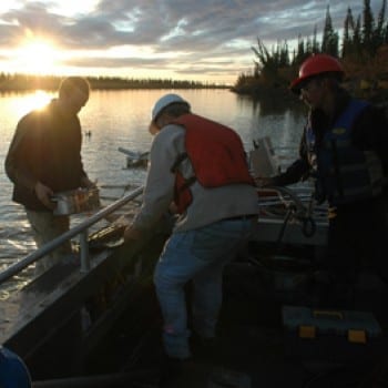
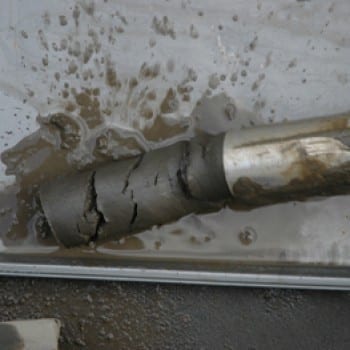
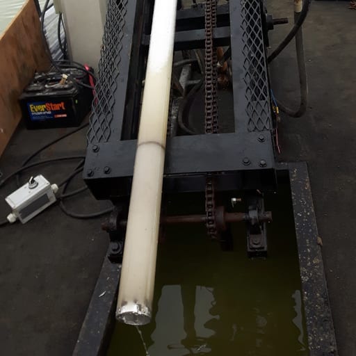
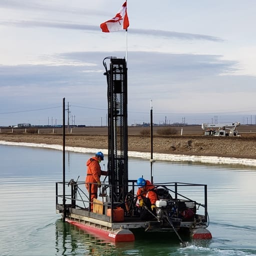
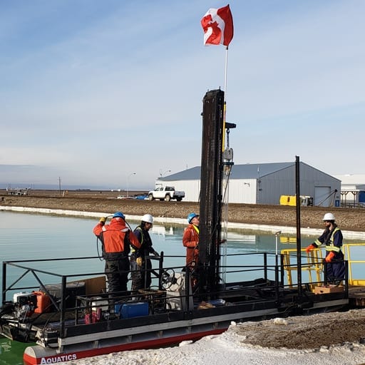
Core Sampling
What is below the surface of the river / lake bottom? What is the composition of materials which make up these areas? With Vibe Core sampling, you can extract cores, open them up and see what is down there.
Aquatics utilizes a coring system that can be lowered from a floating platform and has been proven to be able to penetrate all sorts of materials. We extract the cores, either open them up on the surface or extract the entire core in sample containers.
When sub bottom profiling, vibe coring is used for the verification of the material types that often can be seen in the sub-bottom records.

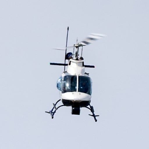
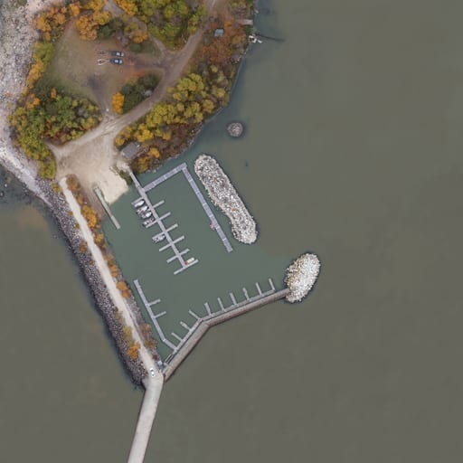
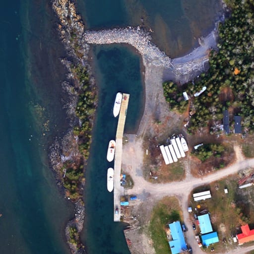
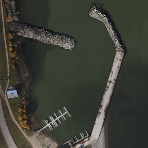
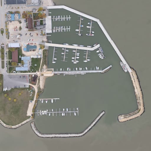
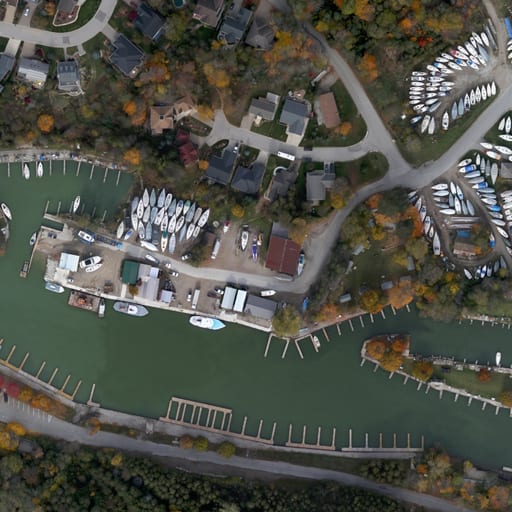
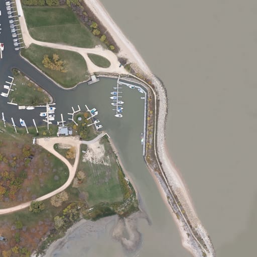
Aerial Photography
From well above the water, Aquatics has a variety of aircraft to acquire images; drones, fixed wing, or helicopter. Often, we will obtain these images in areas where we need a backdrop for our hydrographic surveys. As we often work in very remote and isolated areas, it is necessary for us to acquire our own georeferenced air photos.
We currently offer services in small area mapping via drone, or larger area mapping via fixed wing aircraft.
We offer both oblique and nadir ortho photography services.
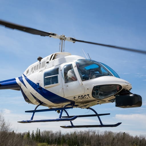
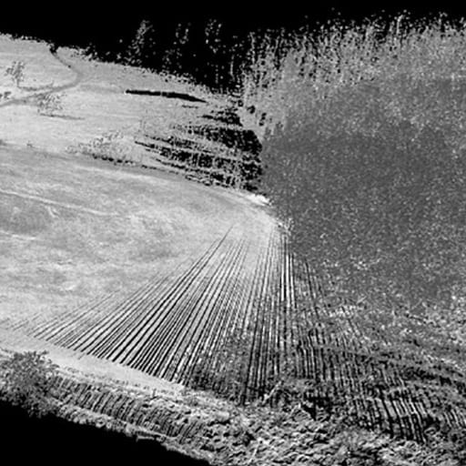
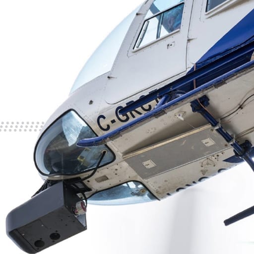
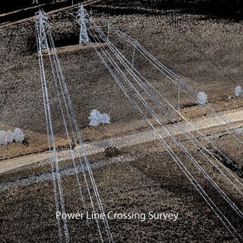
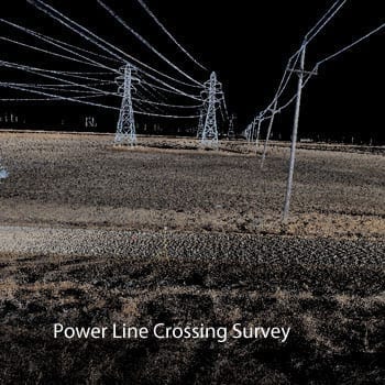
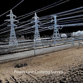
Airborne Lidar
In an attempt to map shorelines and riparian areas, Aquatics acquired an airborne lidar system suitable for both fixed wing and helicopter applications. We utilized this lidar system to acquire bare earth models of areas ‘just beyond’ what we could normally capture using a vessel based lidar system. We found that the perspective from the air allowed us to define the area ‘beyond the banks’ allowing our clients to better quantify water flooding patterns and flood forecast models.
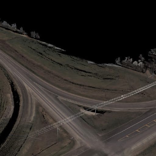
Since then, Aquatics has utilized the lidar system for corridor mapping of highways and powerlines.